Offer
The services we offer.
GEODESY
MAPS FOR DESIGN PURPOSES
GEODETIC CONSTRUCTION SERVICE
AS-BUILT INVENTORY
ESTABLISHMENT AND RESUMPTION OF PLOT BOUNDARIES
DIVISION OF PLOTS OF LAND
STAKE OF PROJECTED POINTS
CERTIFICATES OF INDEPENDENCE OF PREMISES
Certificates of Independence of Premises Poznań
MAPY GEODEZYJNE DO CELÓW PROJEKTOWYCH WROCŁAW
Realizujemy profesjonalne opracowania geodezyjne niezbędne w procesach inwestycyjnych, a w szczególności mapy do celów projektowych dla klientów firm budowlanych, projektantów oraz instytucji publicznych.
SKANNING 3D
CONSTRUCTION AND ARCHITECTURAL INVENTORIES
Reverse documentation based on laser scanning data
VOLUME OF PRISMS UNDER ROOFS AND IN HALLS
Inventory of loose materials in warehouses under the roof and in the halls.
DIGITAL TERRAIN MODEL
3D terrain modeling based on point clouds from laser scanning and photogrammetry.
BUILDING AREA MEASURMENT
Measurement of the usable area of buildings in accordance with applicable standards.
BALANCE OF EARTH WORKS
Calculation of the amount of earthworks actually performed
INVENTORY OF DAMAGES AND MONITORING CHANGES
Precise measurement of damage after collisions and accidents
PHOTOGRAMMETRY
ORTHOPHOTOMAPS
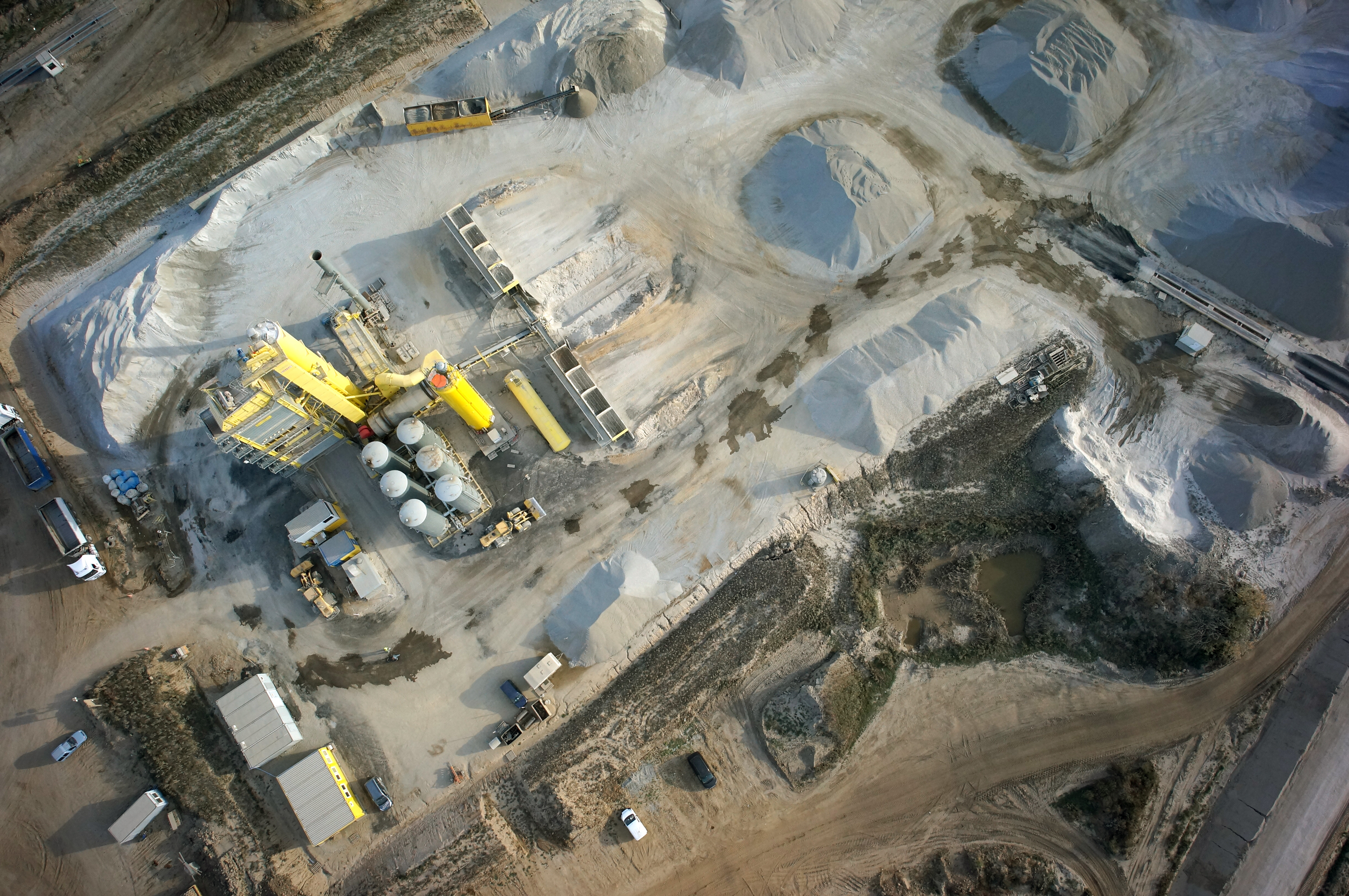
MAPS AND 3D MODELS OD OPENCAST MINES
PHOTO REPORTS FROM DRONE AND 360 CAMERAS
AERONAUTICAL PHOTOGRAMETRY
INVENTORY OF BULK MATERIAL STOCKPILES
CONSTRUCTION PROGRESS INVENTORY
We perform periodic measurements as the basis for the closure and settlement of construction stages.
CONTACT
We encourage you to send an inquiry, and we will prepare a personalized offer for you.