Skanning 3D
We provide services in the field of 3D laser scanning – conducting comprehensive inventory of buildings or terrain based on the acquired point clouds. We integrate data obtained from laser scanning with data from photogrammetry, aerial scanning, and classical measurements. Our specialization goes beyond just scanning buildings and creating inventory documentation. Our domain is terrain modeling for future investments – inputting designs into 3D software and calculating earthworks balance. We identify conflicts of the project with overhead networks, viaducts, trees, and all other above-ground objects. We make the results of our measurements available on servers with online access via web browsers. We are only limited by our and the Client's imagination...
CONSTRUCTION AND ARCHITECTURAL INVENTORIES
This involves the preparation or updating of documentation related to a construction object. Architectural and building inventories are conducted for every type of building (residential houses, public utility buildings, historical monuments, sacred structures, parts of buildings—residential and commercial units).
An architectural and building inventory is required wherever a renovation of an existing structure is planned. By utilizing 3D laser scanning or, depending on needs, traditional measurement methods (non-reflective theodolites, levels, manual rangefinders) as well as photogrammetric methods (terrestrial and aerial photogrammetry), we are able to meet every task and adapt the method to the budget and requirements of the client. We guarantee full professionalism both during measurement and documentation preparation. By applying our geodetic knowledge and equipment, we never have to assume right angles or equal walls; we always base our work on precise measurements and present objects as they are in reality.
VOLUME OF PRISMS UNDER ROOFS AND IN HALLS
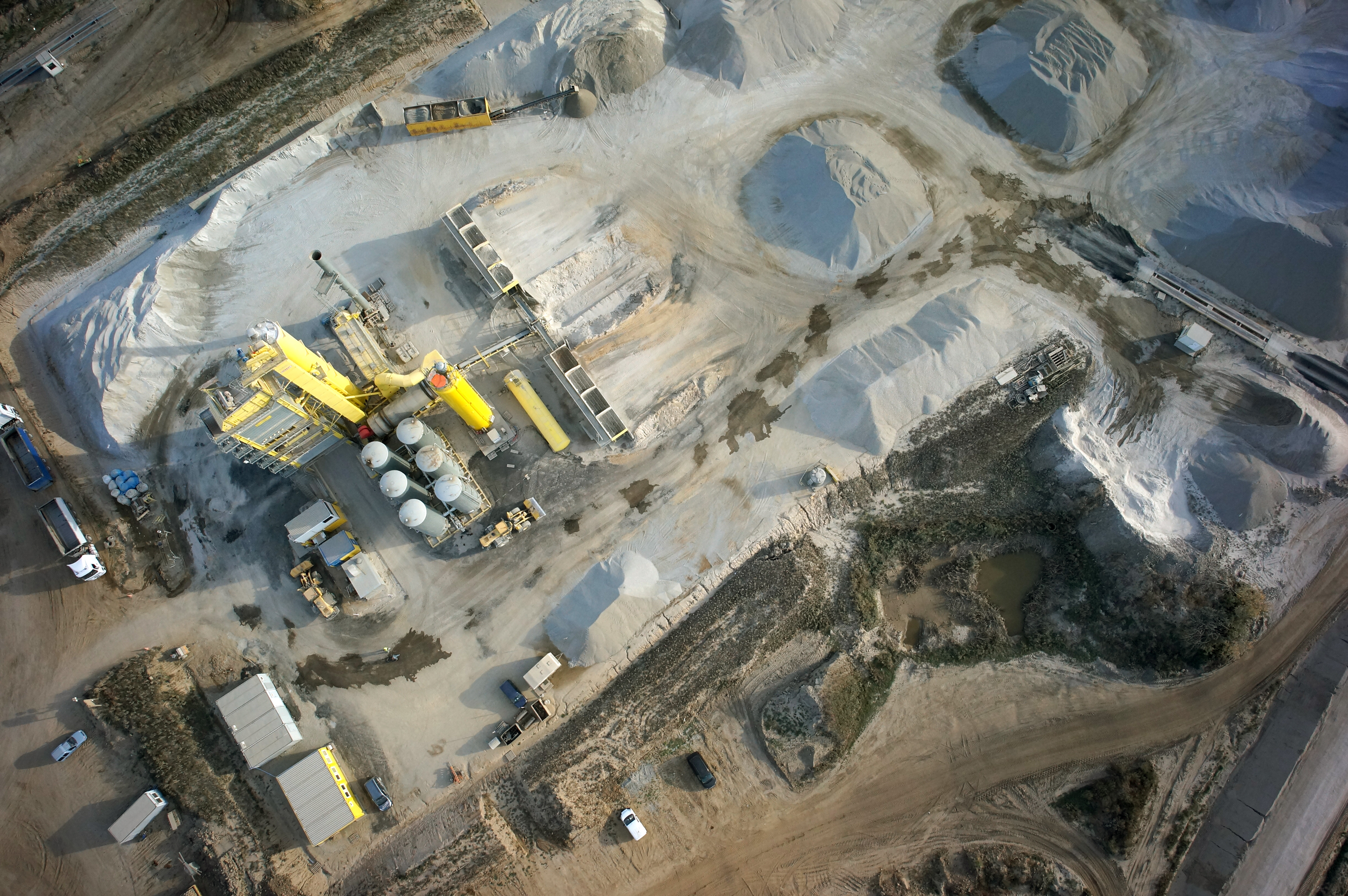
DIGITAL TERRAIN MODEL
Services in the field Skanning 3D
BUILDING AREA MEASURMENT
Measurement of the usable area of buildings in accordance with applicable standards.
BALANCE OF EARTH WORKS
Calculation of the amount of earthworks actually performed
INVENTORY OF DAMAGES AND MONITORING CHANGES
Precise measurement of damage after collisions and accidents
CONTACT
We encourage you to send an inquiry, and we will prepare a personalized offer for you.