Orthophotomaps
Today, most researchers involved in data acquisition believe that the future belongs to photogrammetry. Thanks to advanced computational algorithms, the availability of high-performance computers, and the introduction of unmanned aerial vehicles for civilian use, what required enormous financial investments just a few years ago is now accessible and can confidently compete in terms of cost with traditional methods.
GEOBIZ was the first company in Poland to implement the UAS system from the leading American producer of photogrammetric solutions, TRIMBLE - UX5. Unlike many commercial and semi-amateur solutions, this system has been designed to achieve precise geodetic accuracy. It is predictable, and at every stage of work, an experienced operator can determine the precision with which the resulting development will be executed. Of course, we do not limit ourselves to just fixed-wing drones. We also utilize numerous rotorcraft, primarily from DJI, an undisputed leader in the drone supply industry.
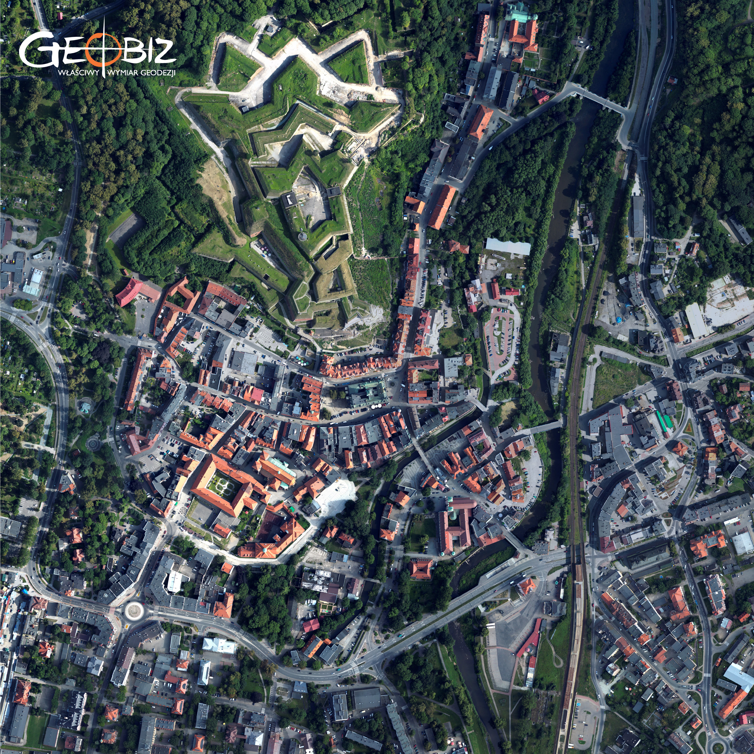
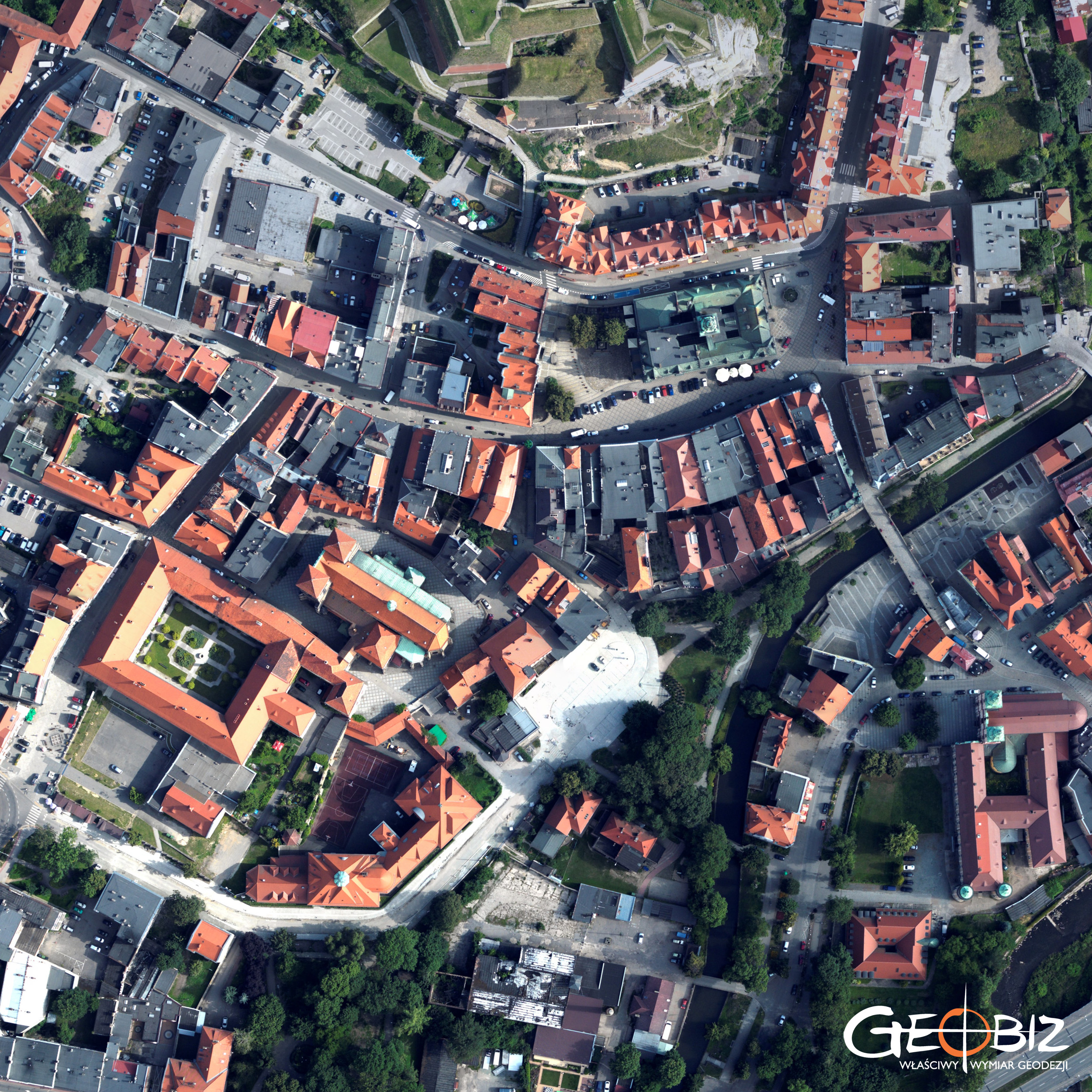
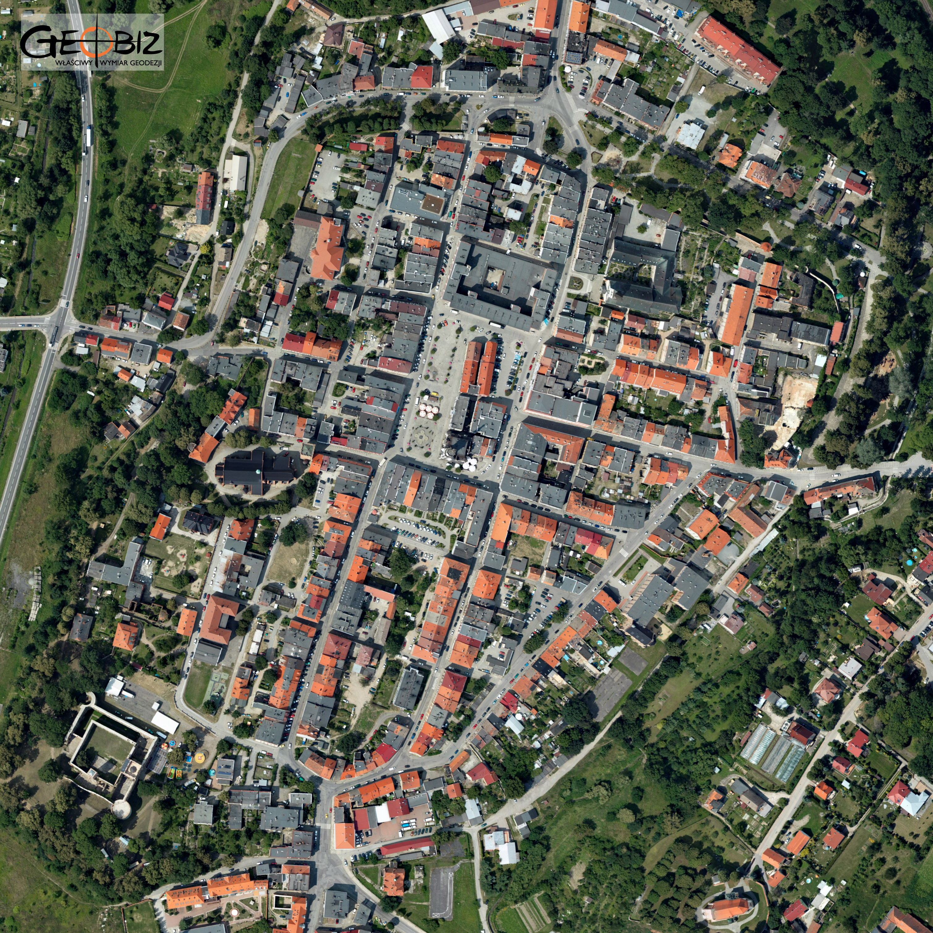
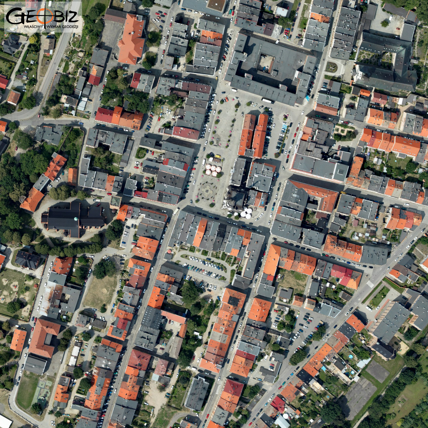
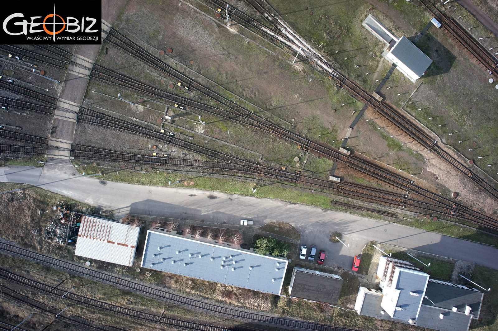
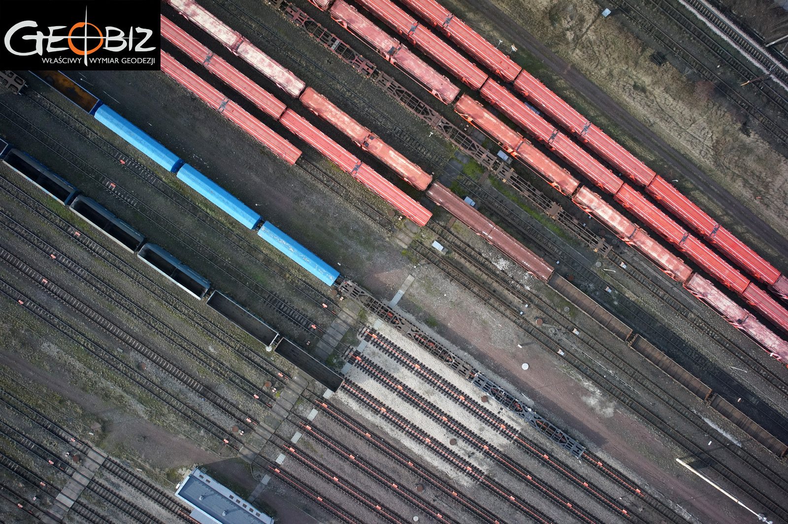
ORTHOPHOTOMAP WROCŁAW-KŁODZKO
Made on the basis of photos from a manned plane with a full-size camera.
More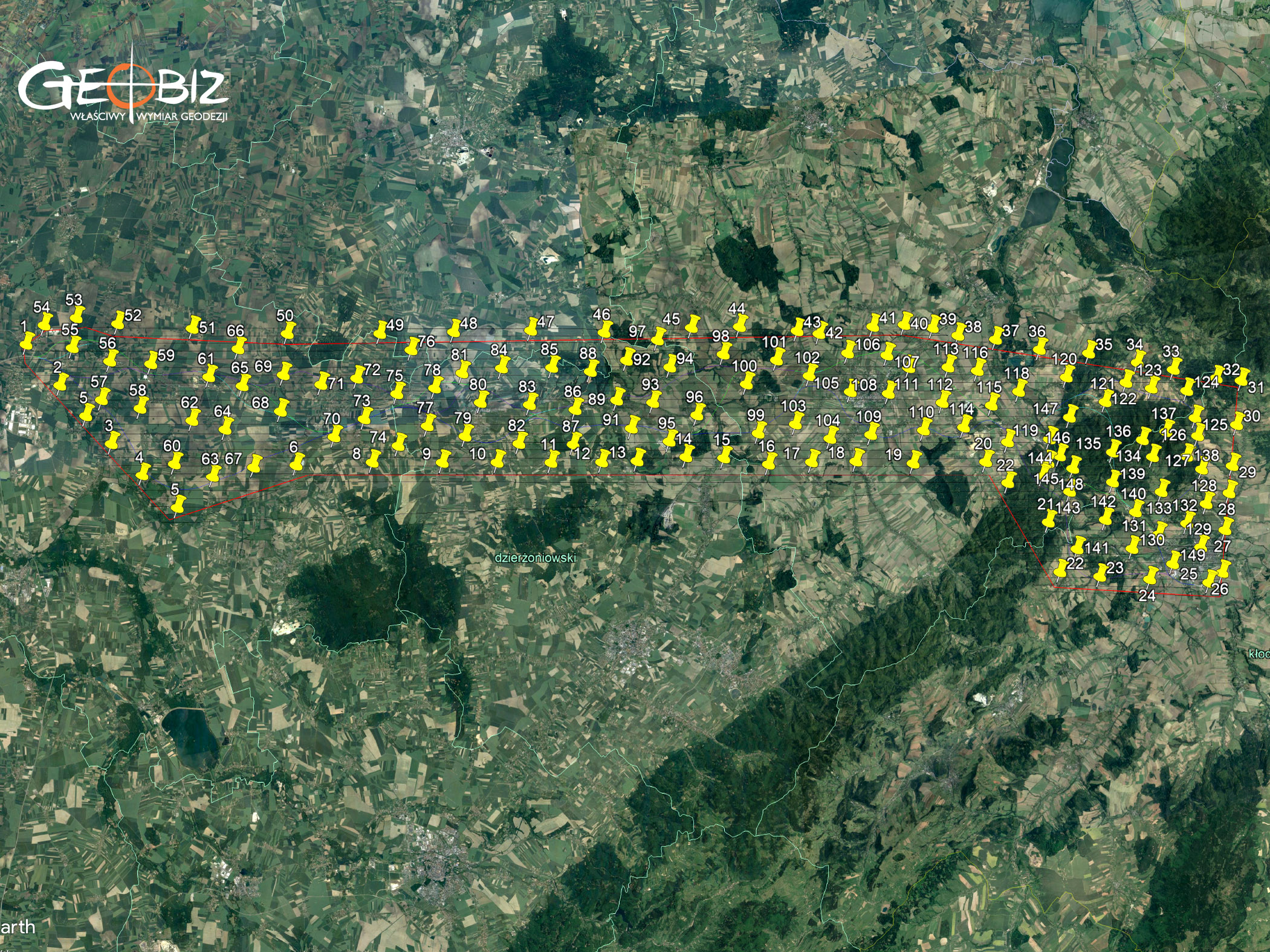
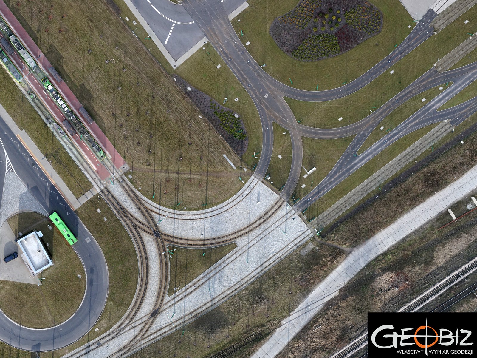
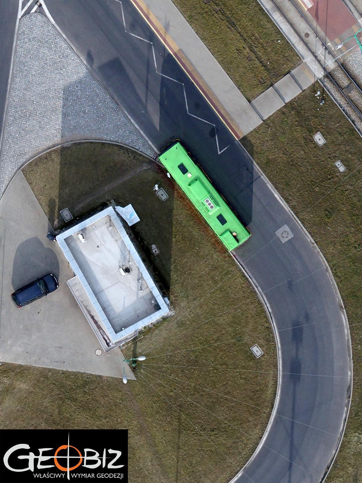
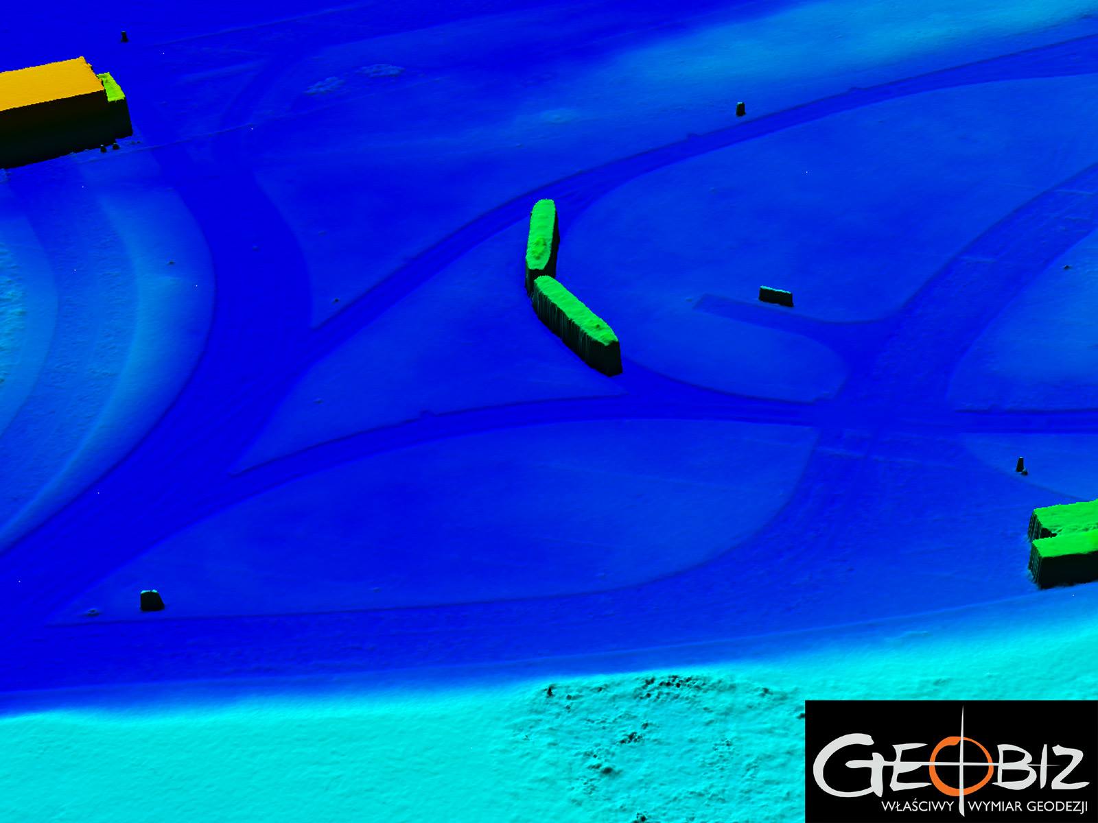
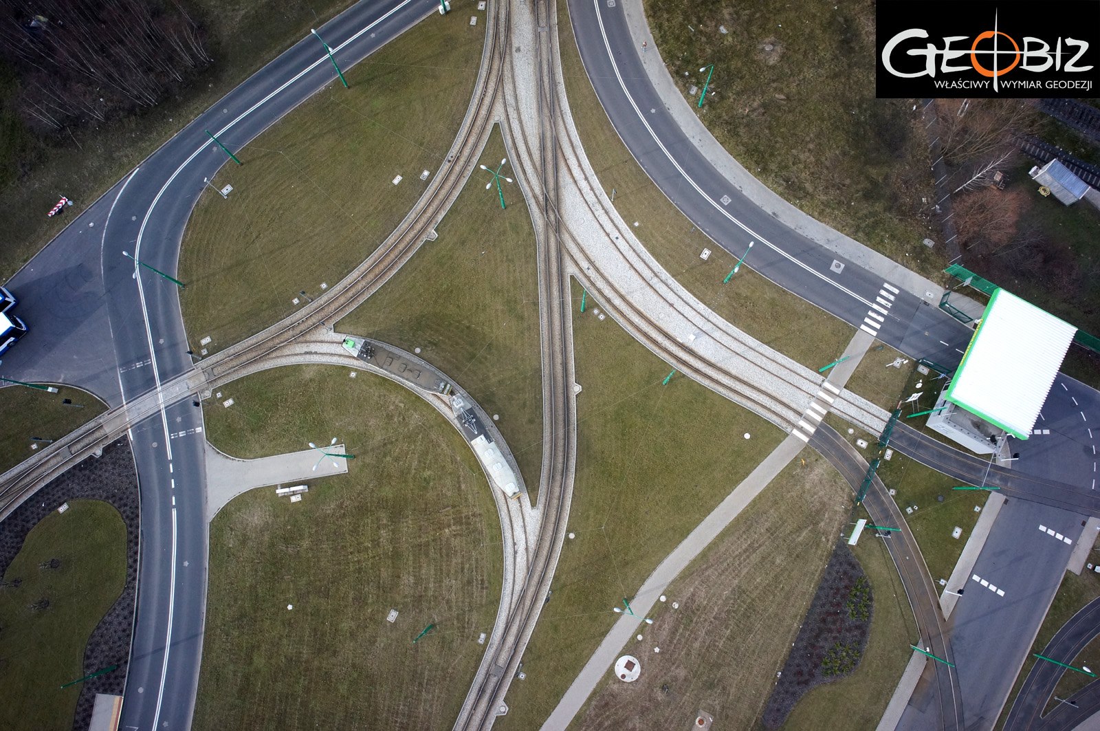
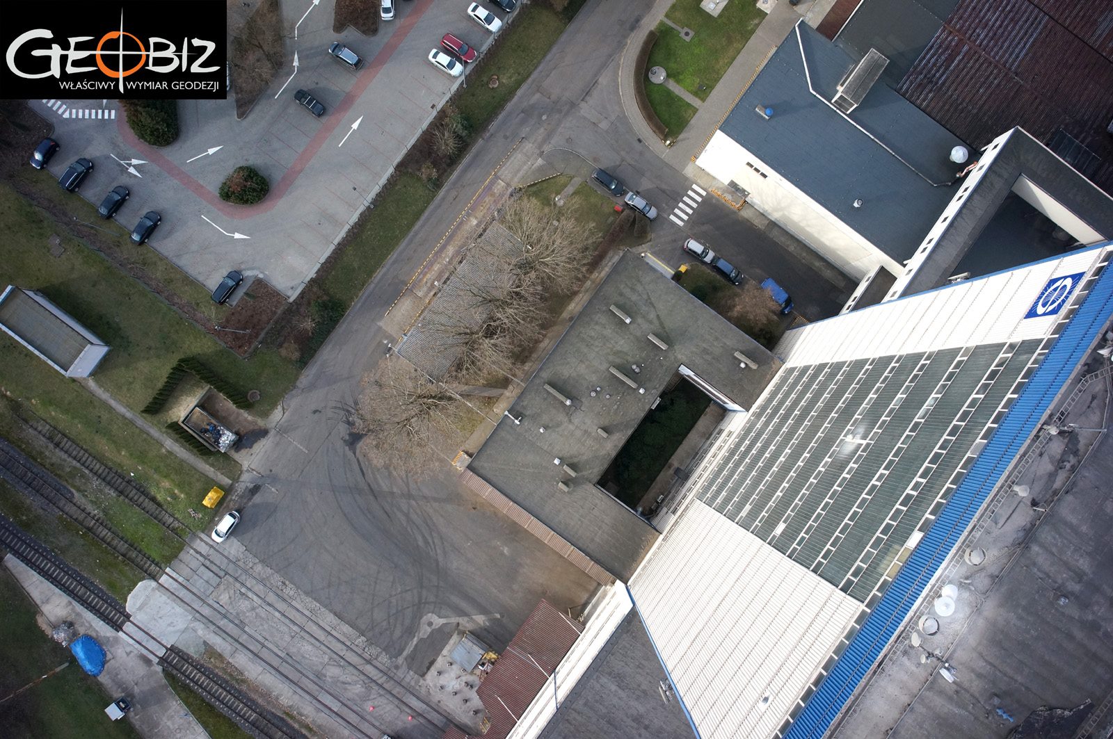
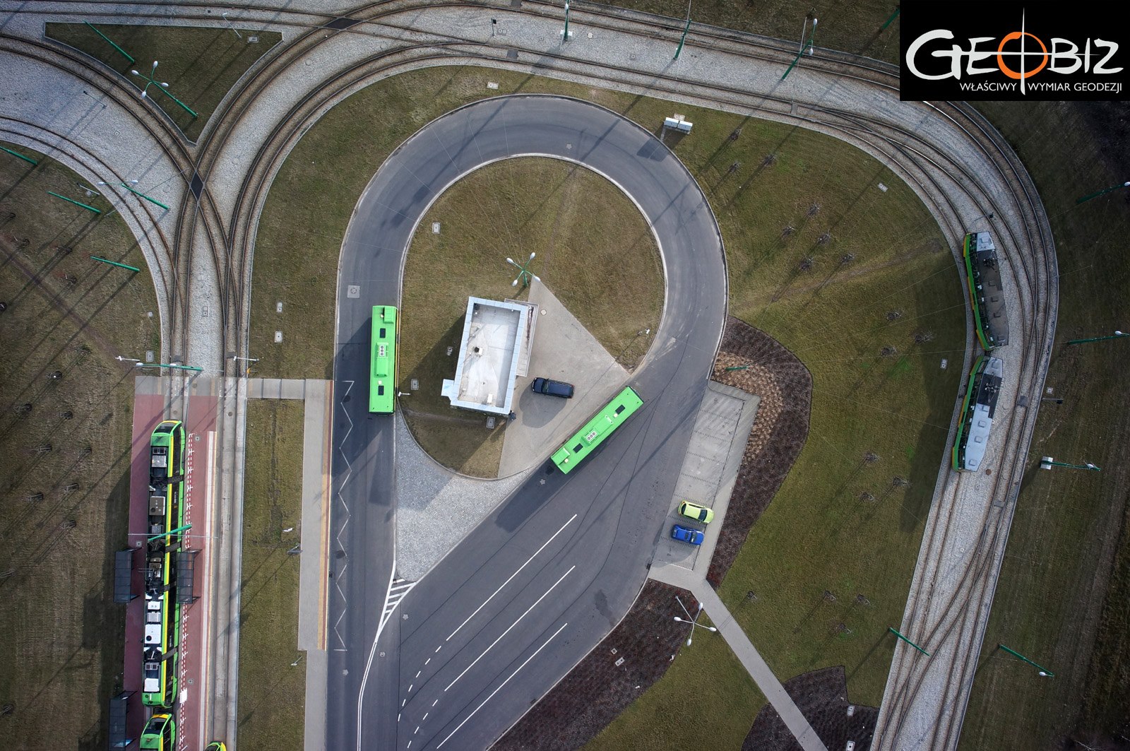
TRAM DEPOT
Photographic inventory of the tram depot area and the future overpass above the railway track.
More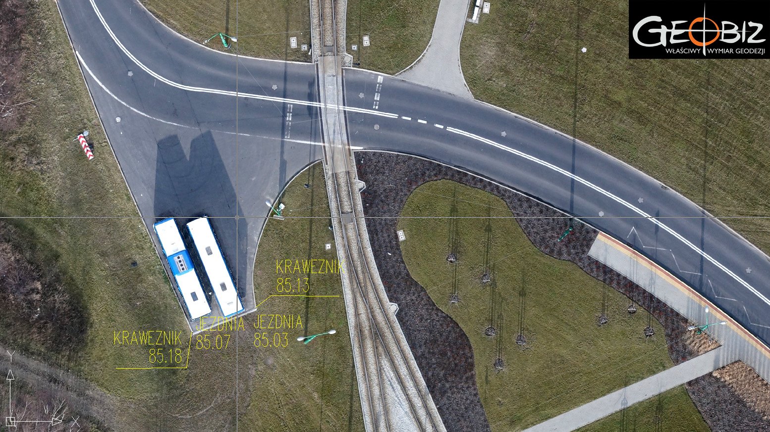

Geodesy from a Drone
We invite you to visit our Facebook page, where we regularly present the latest photogrammetric developments, and to learn more about the capabilities of our UAS system at www.ortofotomapy.com.pl.
The data obtained using the UX5 system is utilized for:
-
Creating Orthophotos with an accuracy of up to 2.4 cm GSD. These types of products have a wide range of applications, from maps for project and planning purposes to plans for recreational centers and shopping complexes, as well as determining usage states, measuring agricultural areas, and documenting natural disasters.
-
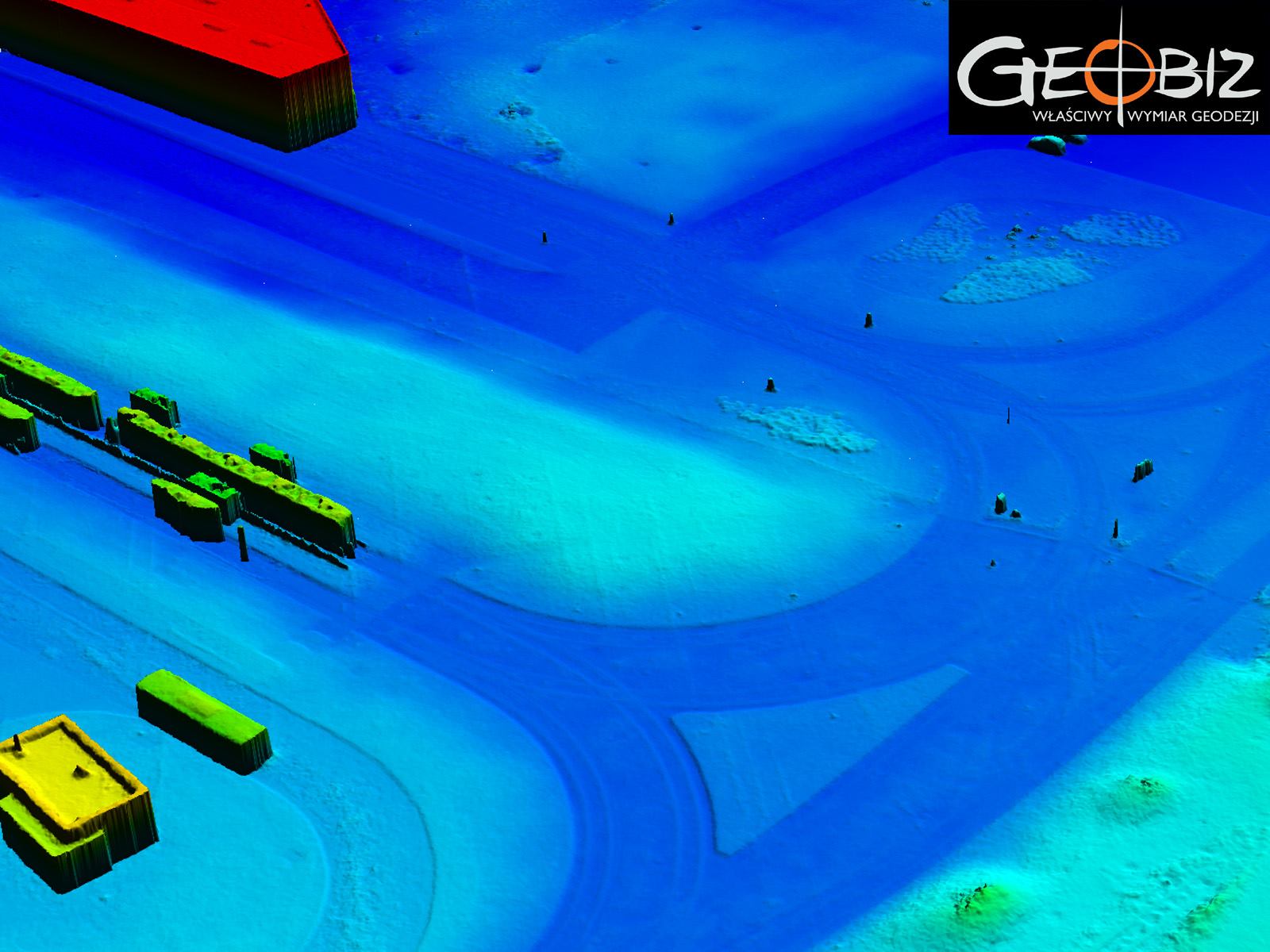
Creating Digital Terrain Models, which allow for very quick and precise calculations of earthwork volumes, changes occurring in excavations and heaps in open-pit mines, and analyzing erosion progress on cliffs and other natural phenomena. Terrain models, along with orthophotos, are also used by archaeologists to identify potential future archaeological sites.
-
Photoreports - Inventory of Construction Stages - a major challenge in today's road, railway, and cubic construction is accurately assessing work progress. By using the UX5 system and advanced calculation methods, we create monthly reports that precisely and conclusively document completed work, allow for earthwork calculations, and provide accurate quantities of bulk materials stored on construction sites. Printing such documentation in color with CAD-type project overlays also allows for ongoing analysis of work compliance with project assumptions—this eliminates significant errors that often come to light only at the final stages of work and post-execution inventory.
-
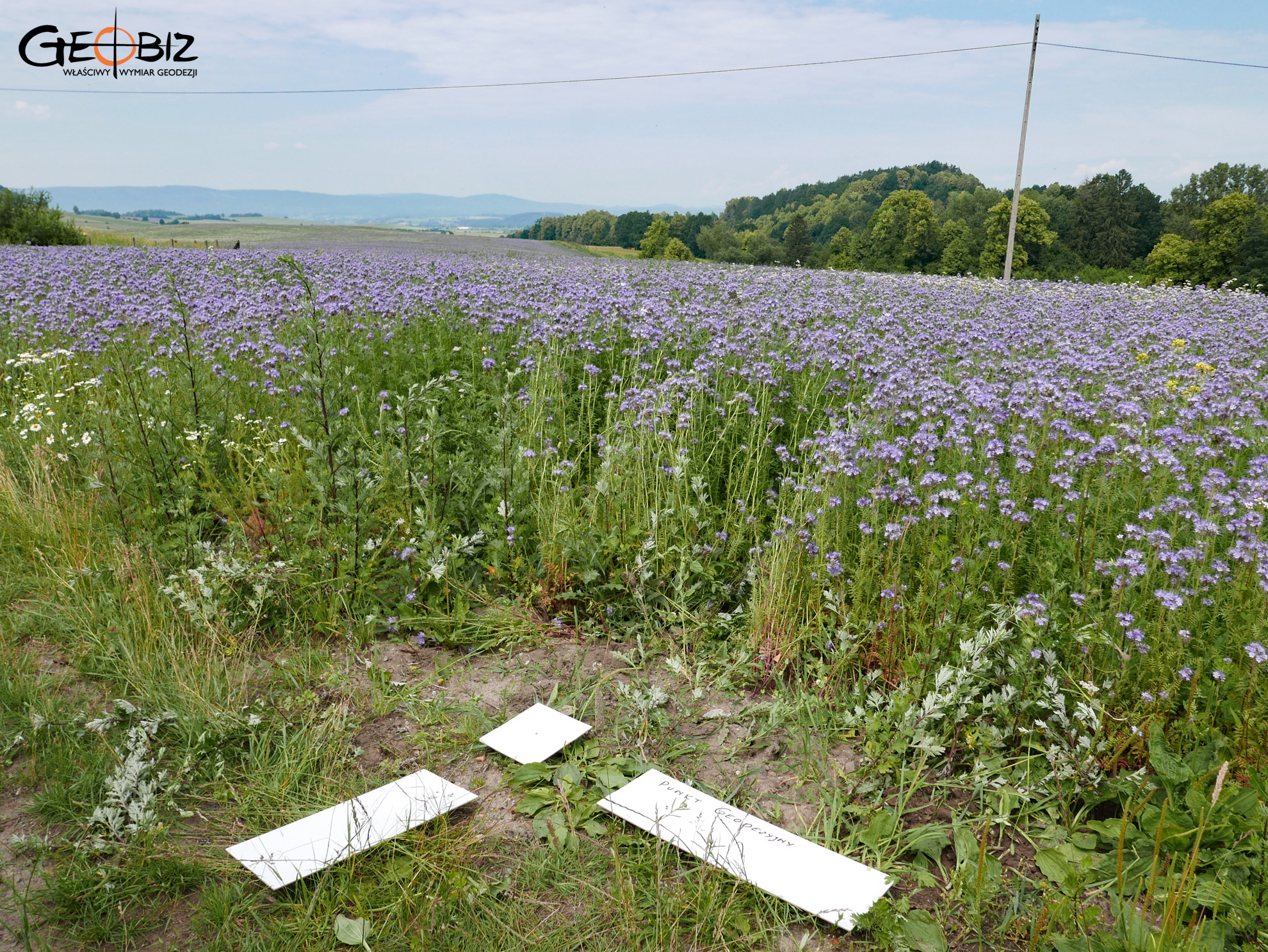
Surveys of Hard-to-Reach and Dangerous Areas - the unmanned aircraft is an ideal solution when surveying involves areas that are dangerous for various reasons. Examples include wetlands, peat bogs, heaps of bulk materials, or areas affected by natural disasters. Using our solutions, we can obtain data in such areas with centimeter-level accuracy while minimizing costs and the risk of accidents.
-
Vegetation Maps - in the United States, aerial photogrammetry in agriculture is commonplace. Today, thanks to reduced costs of obtaining photogrammetric products, it is also making its way into large farms in Poland. With NDVI imagery, we can obtain orthophotos of cultivated areas, taking into account the condition and developmental stage of the plants. This allows for precise planning of human intervention and quick responses in the right locations.
-
Ground Photogrammetry - we also use ground photogrammetry often in conjunction with aerial methods. We create precise 3D models of buildings, architectural elements, and monuments. Ground photogrammetry solutions are ideal for creating elevation projections with accurate color reproduction.
-
Manned Aircraft for Large Area Tasks - for tasks involving large areas, we also utilize manned aircraft. For example, we completed an orthophoto of an area covering 570 square kilometers along the Wrocław - Kłodzko route. More details regarding this project can be found here.
CONTACT
We encourage you to send an inquiry, and we will prepare a personalized offer for you.