Photogrammetry
Using the Trimble UX5 unmanned aircraft, numerous drones, and a photogrammetric lab, we carry out all products derived from aerial photography. Starting from orthophotos with a resolution of up to 1 cm GSD to photo reports – rapid inventories of construction progress, as well as calculating earthworks balance – even for sites that are difficult to access using traditional measurement methods.
For more information on aerial photogrammetry using unmanned aerial vehicles, visit www.ortofotomapy.com.pl.
ORTHOPHOTOMAPS
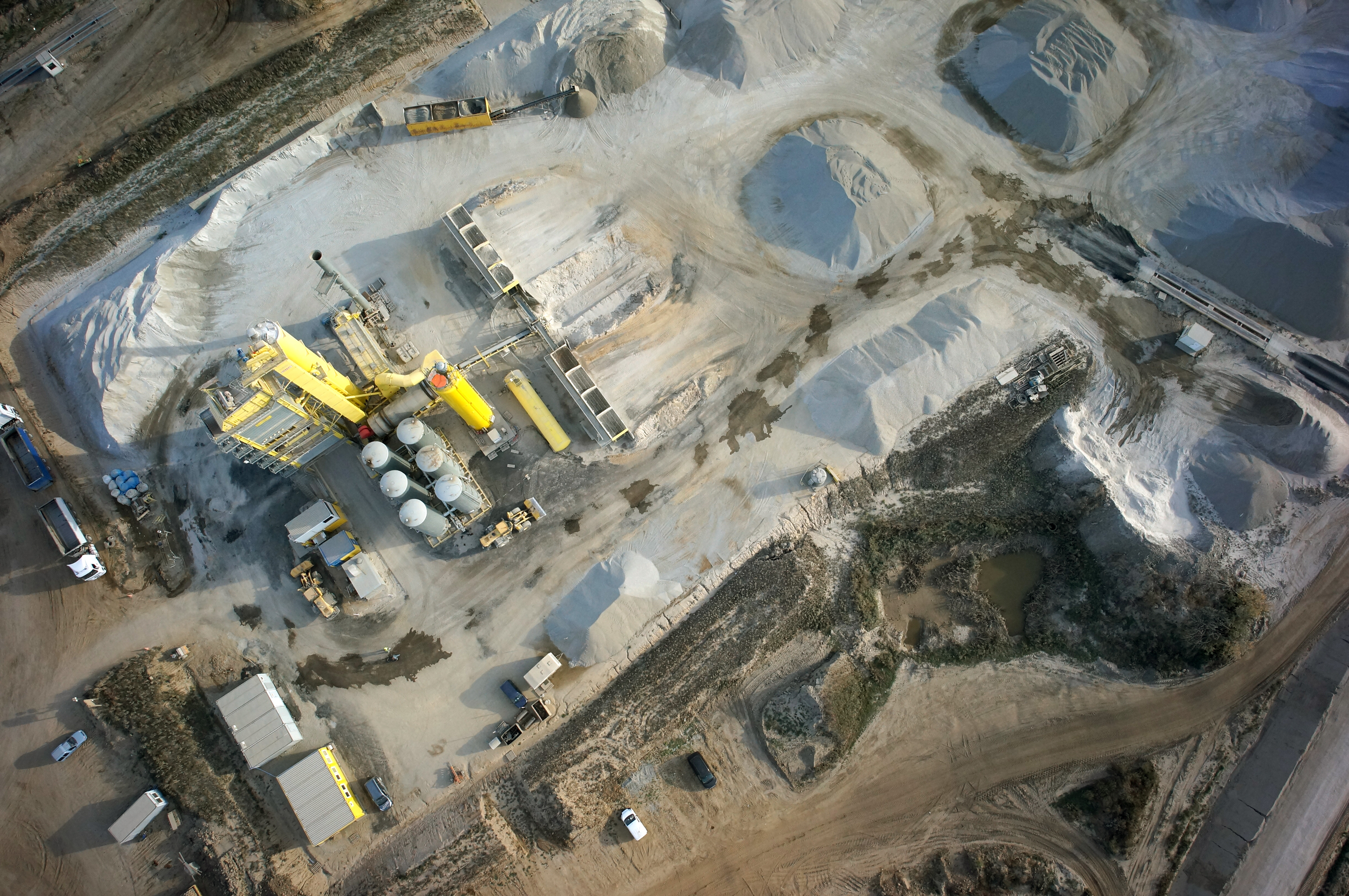
MAPS AND 3D MODELS OD OPENCAST MINES
PHOTO REPORTS FROM DRONE AND 360 CAMERAS
For many years, we have been expanding our services in the field of photographic inventory of terrain. We use drones equipped with high-resolution cameras and 360-degree cameras to gather data. We create precise orthophotos with a Ground Sample Distance (GSD) of up to 1 cm, as well as virtual tours of various areas. We have developed our own data presentation application—GEOBIZ Viewer. This application allows, among other things, to display orthophotos, vector maps (such as project maps), and 360-degree photos simultaneously in a web browser.
Our application enables users to measure areas, distances, and draw lines directly in the browser, and then export these measurements to a .dxf file for import into the client’s software. We conduct photo inspections on land designated for future investments as well as on construction sites to provide investors with insight into the current progress of work.
CONTACT
We encourage you to send an inquiry, and we will prepare a personalized offer for you.