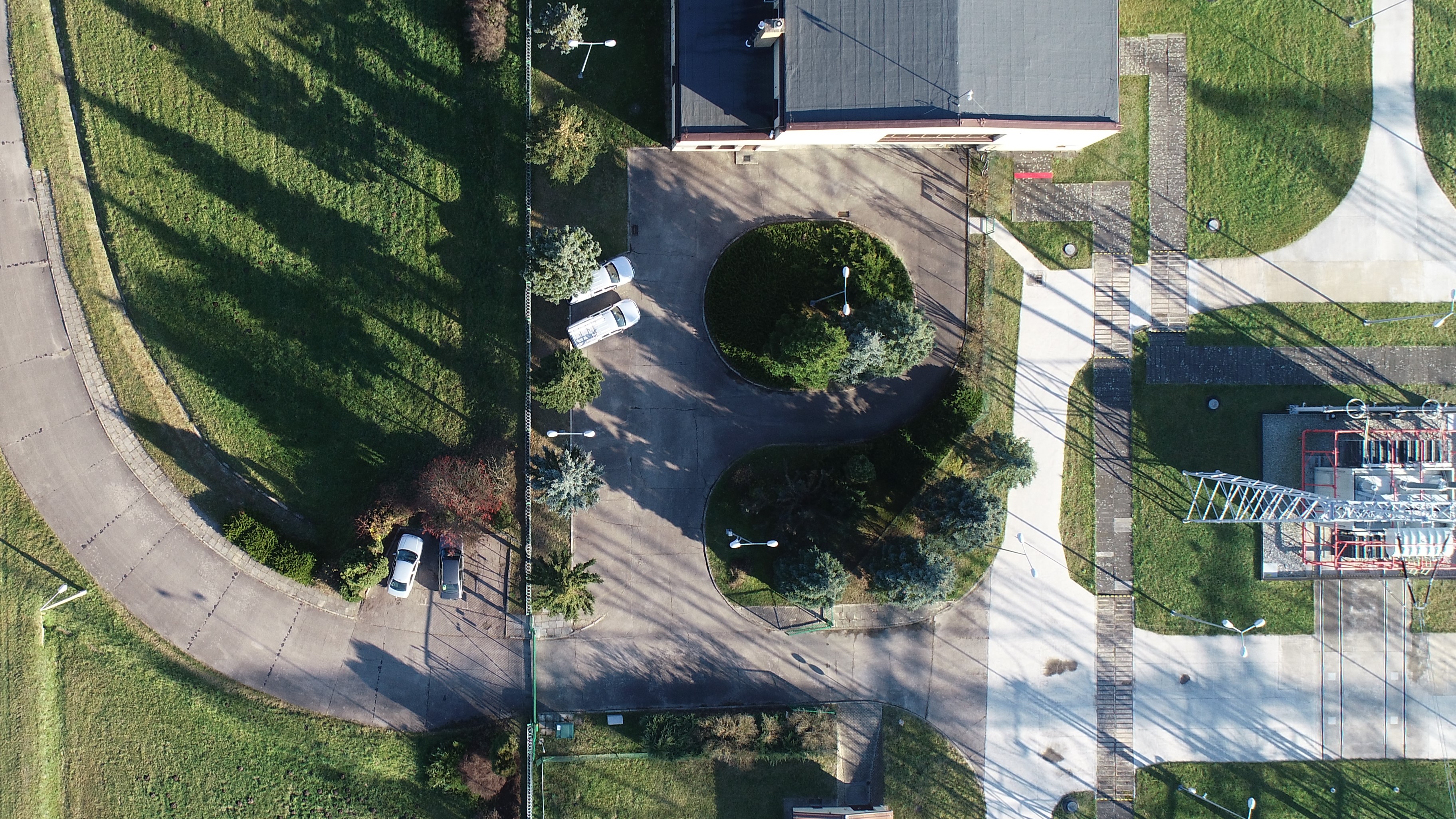
VIRTUAL WALK AND ORTHOTOMAP
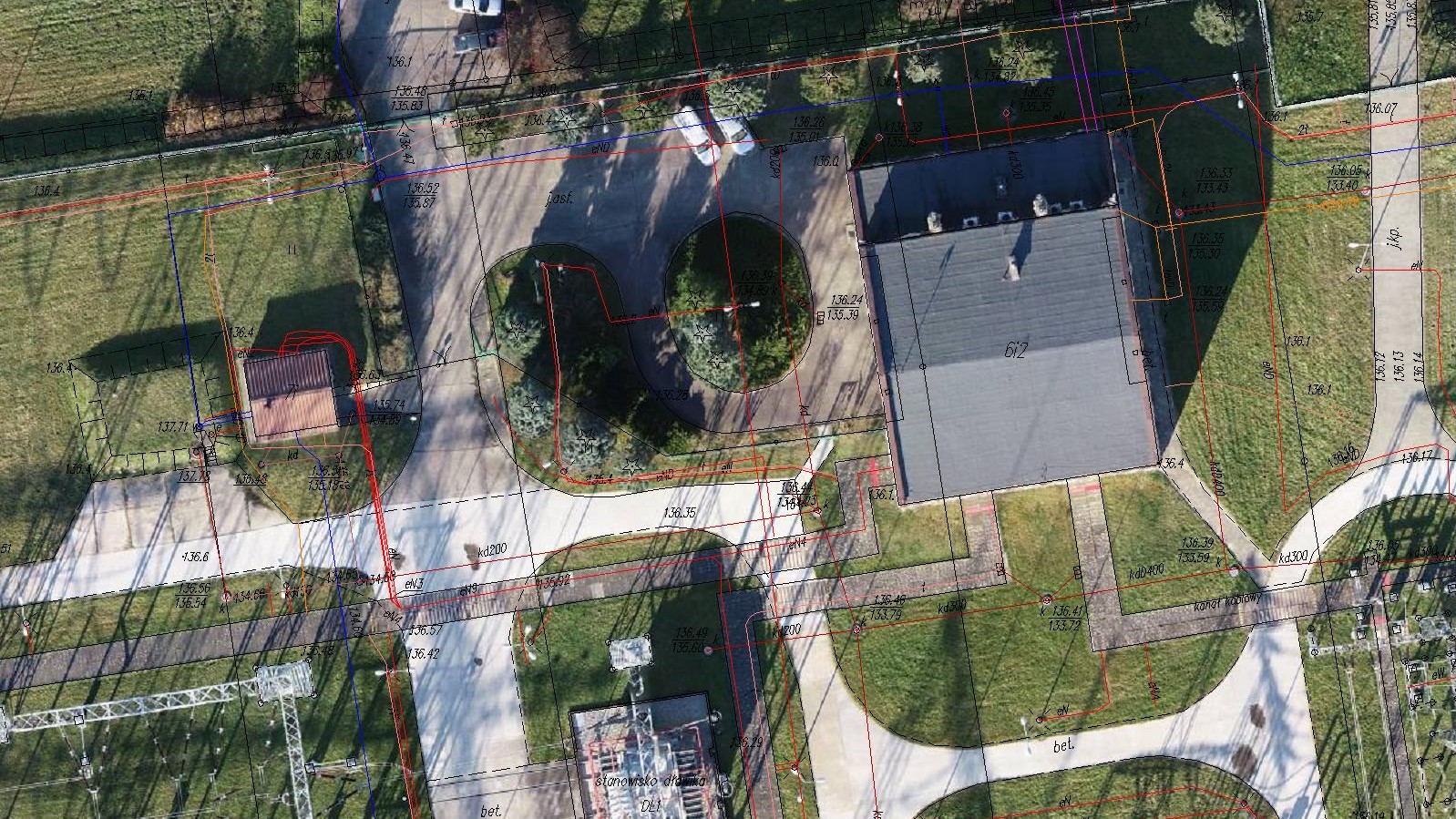
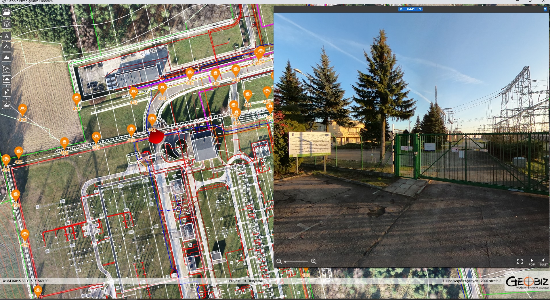
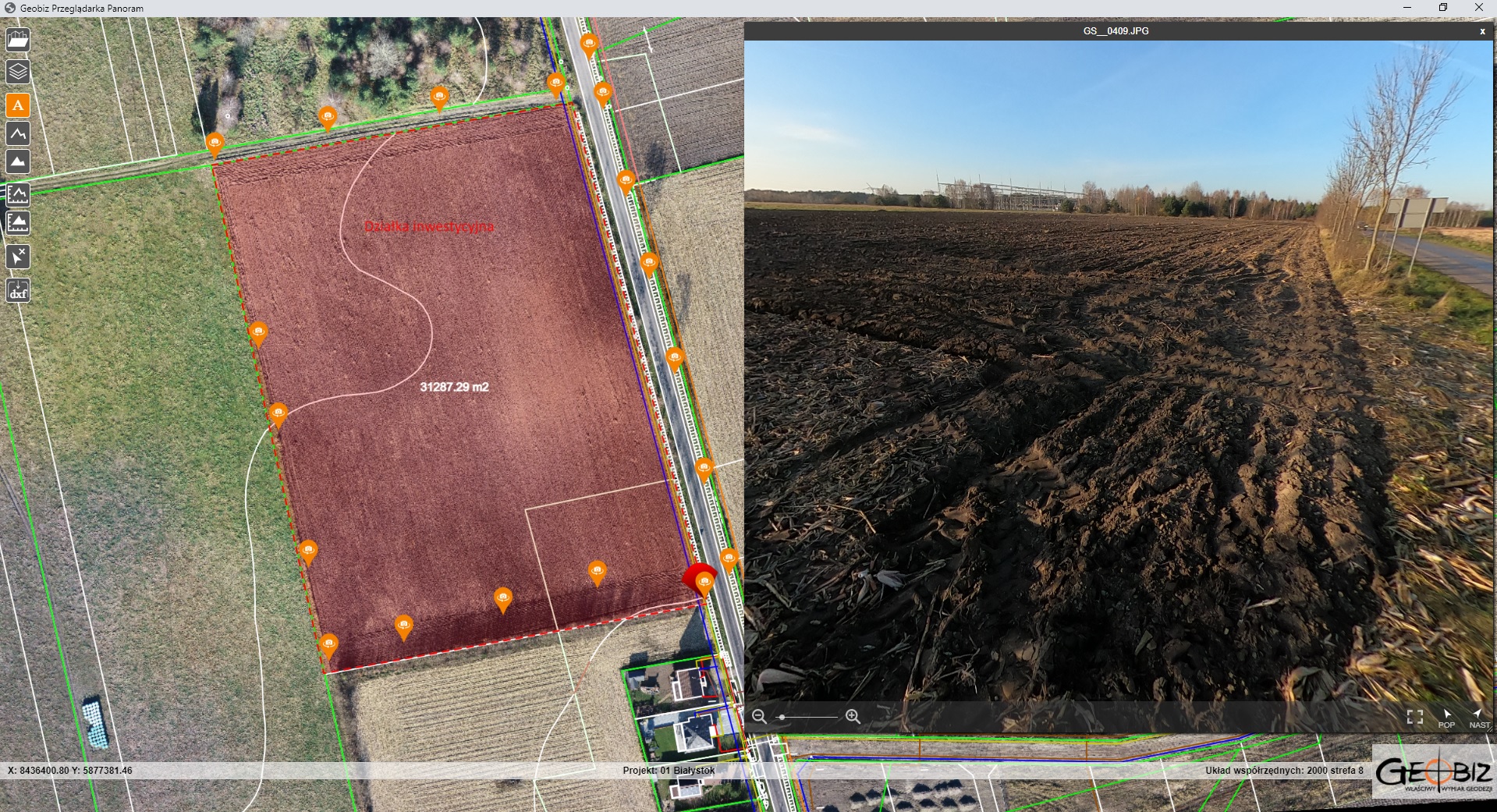
The scope of the project included obtaining digital maps in .dwg format, creating a precise orthophotomap, and implementing a virtual tour over an area of approximately 160 hectares. The site has investment potential, and the client needed detailed information to make informed decisions. Thanks to our work, everything can be viewed, measured, and analyzed from anywhere in Europe without the need for an on-site visit.
All the data has been placed in our GEOBIZ Viewer web browser. This means that no additional software is required to analyze the information we’ve gathered.

Services in the field Photogrammetry - offer
Orthophotomaps
MAPS AND 3D MODELS OD OPENCAST MINES
PHOTO REPORTS FROM DRONE AND 360 CAMERAS
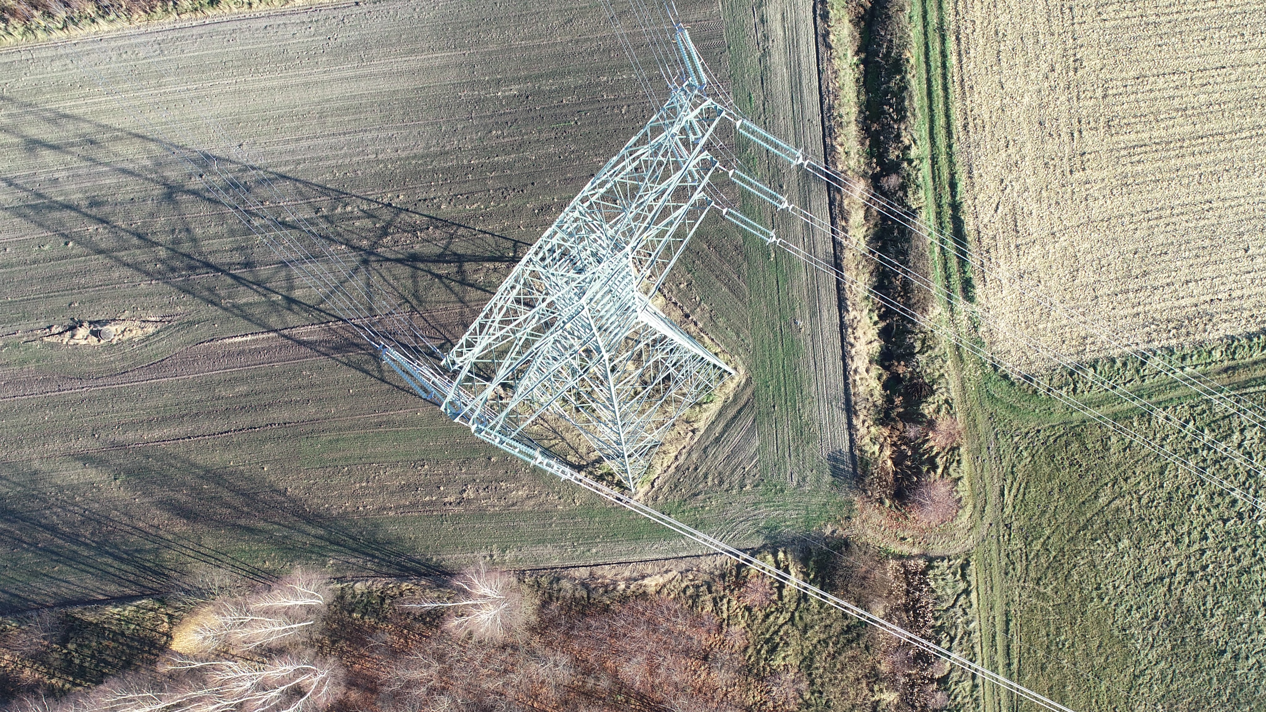
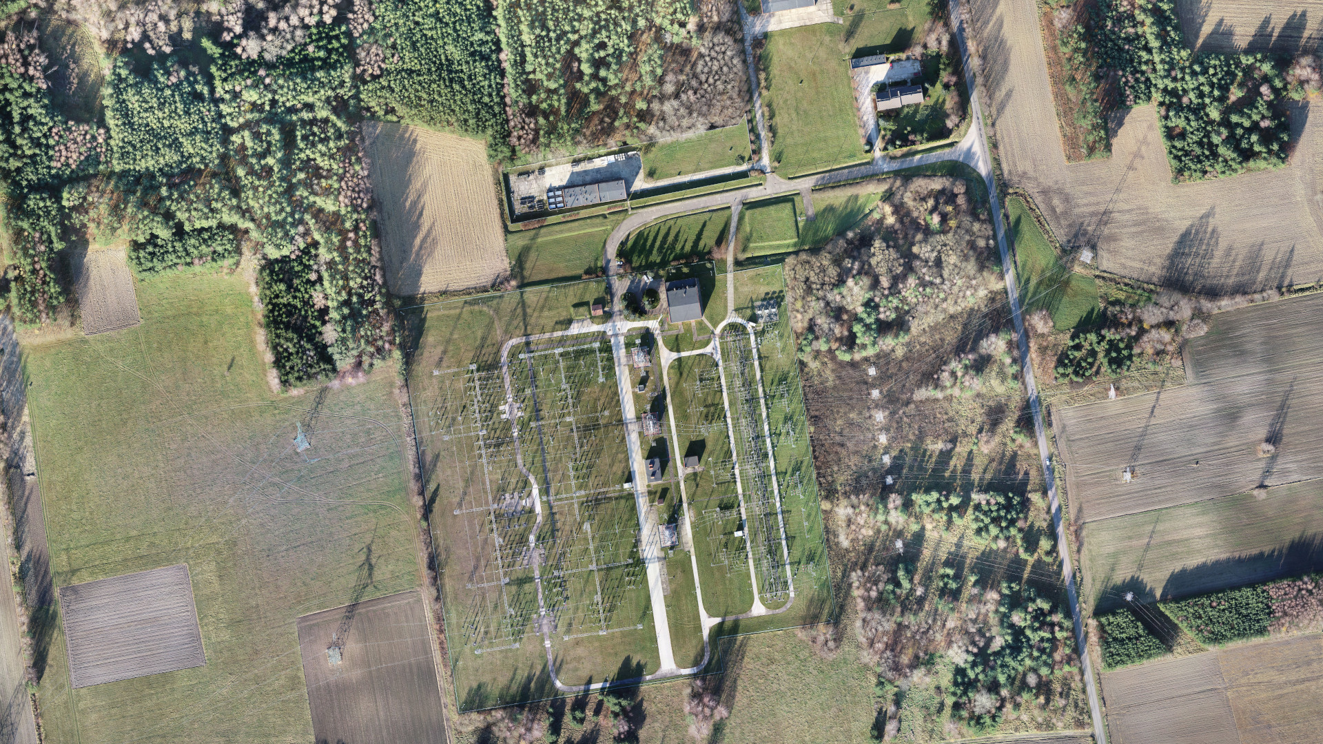
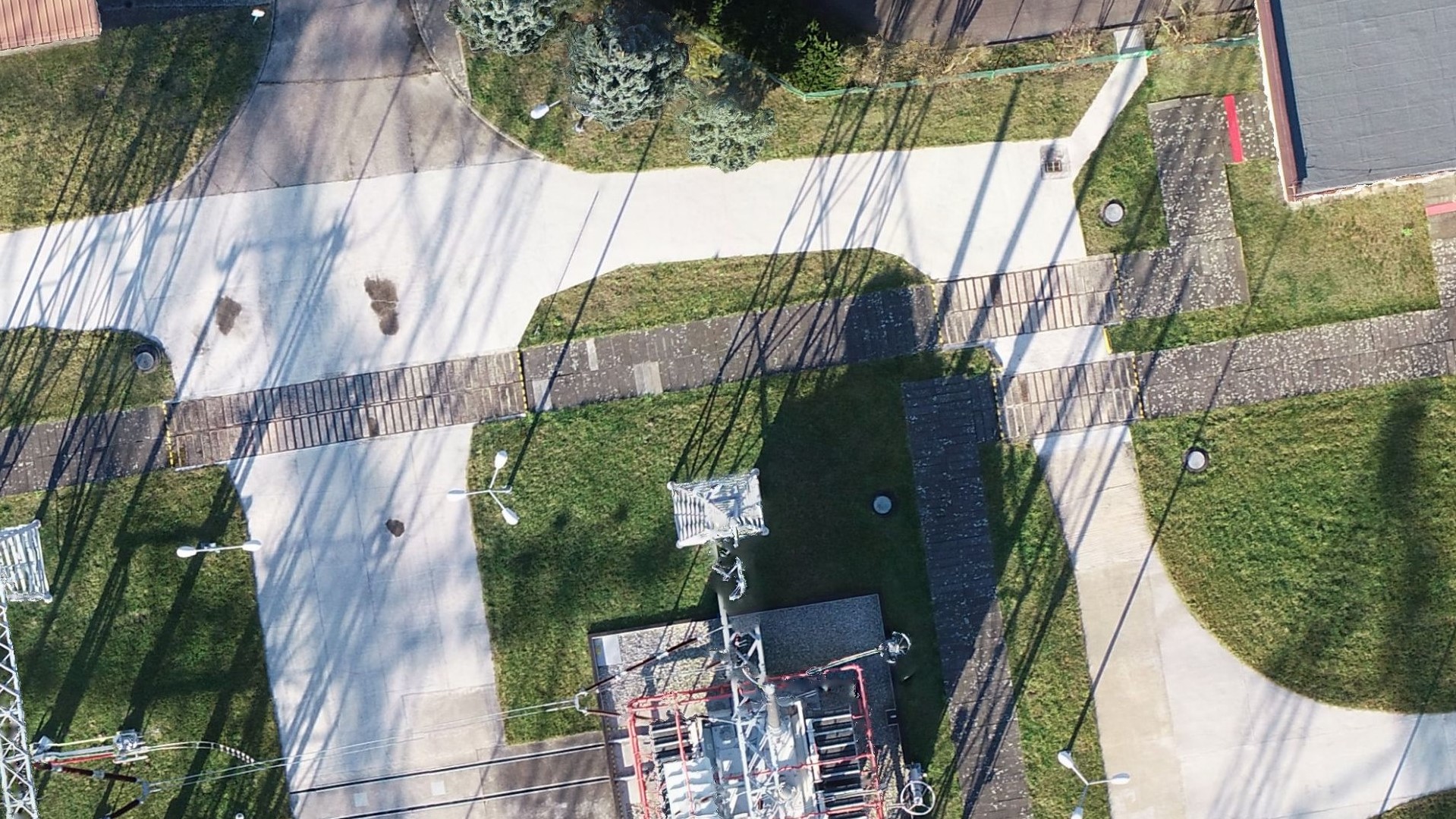
AERONAUTICAL PHOTOGRAMETRY
INVENTORY OF BULK MATERIAL STOCKPILES
CONSTRUCTION PROGRESS INVENTORY
We perform periodic measurements as the basis for the closure and settlement of construction stages.
CONTACT
We encourage you to send an inquiry, and we will prepare a personalized offer for you.