GEODETIC MAP
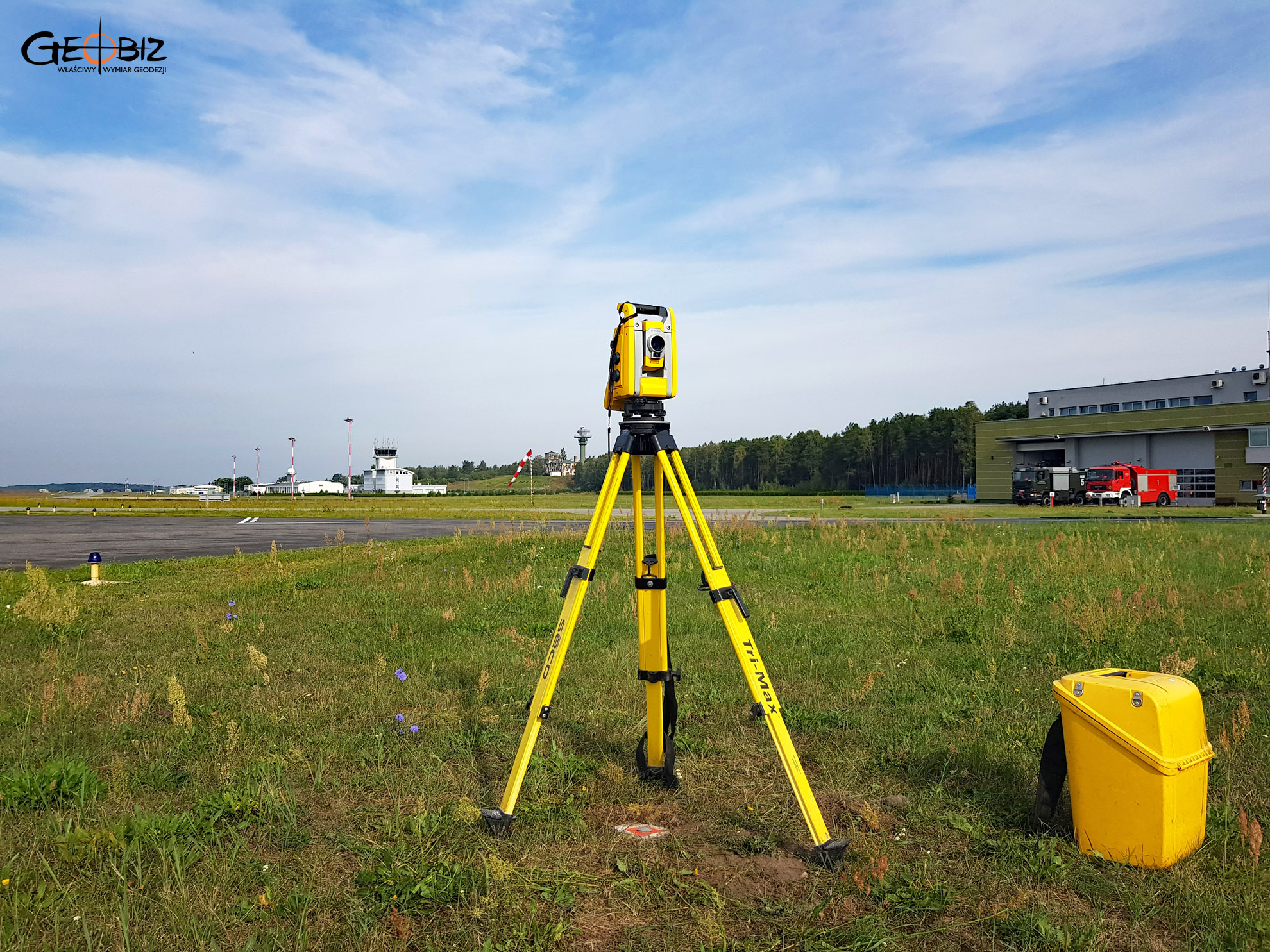
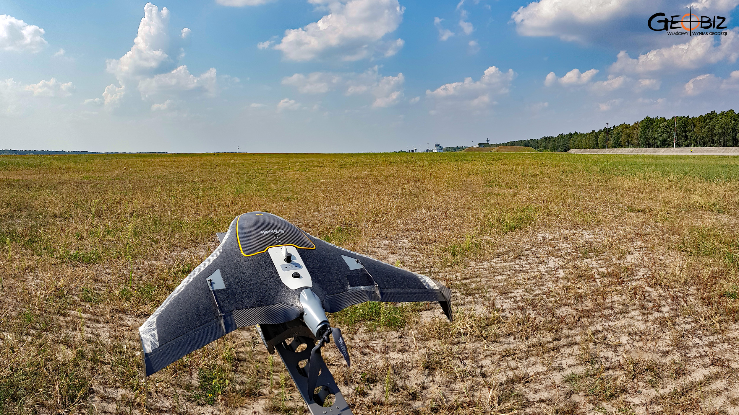
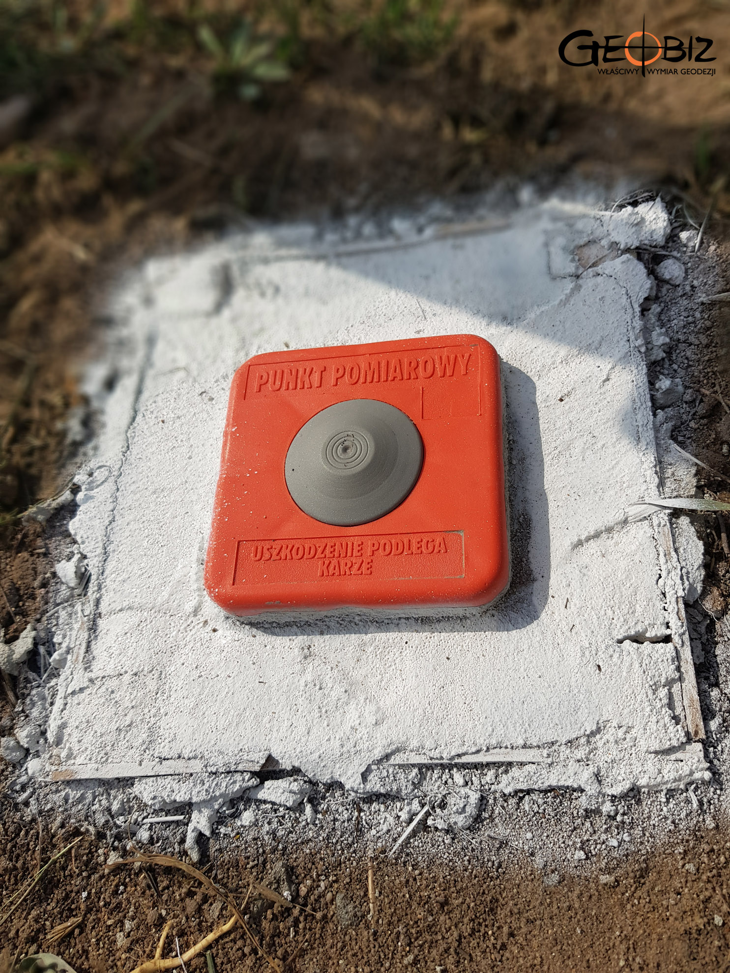
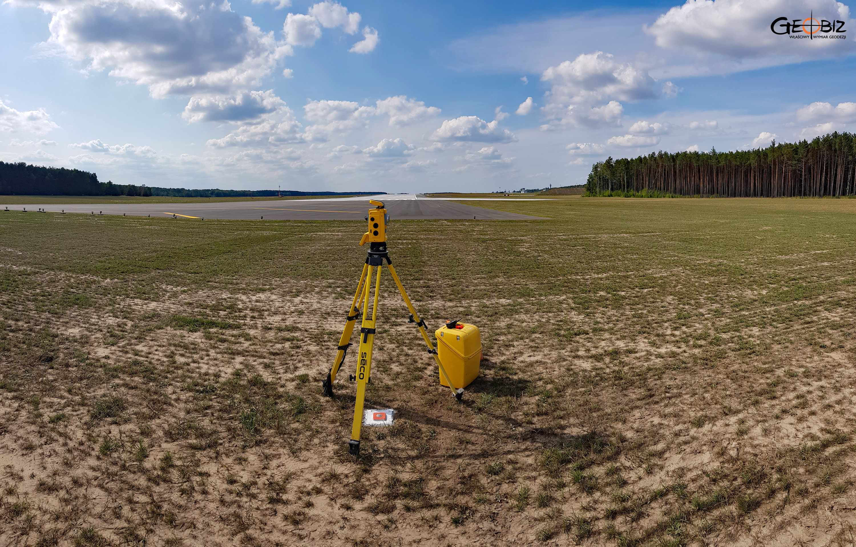
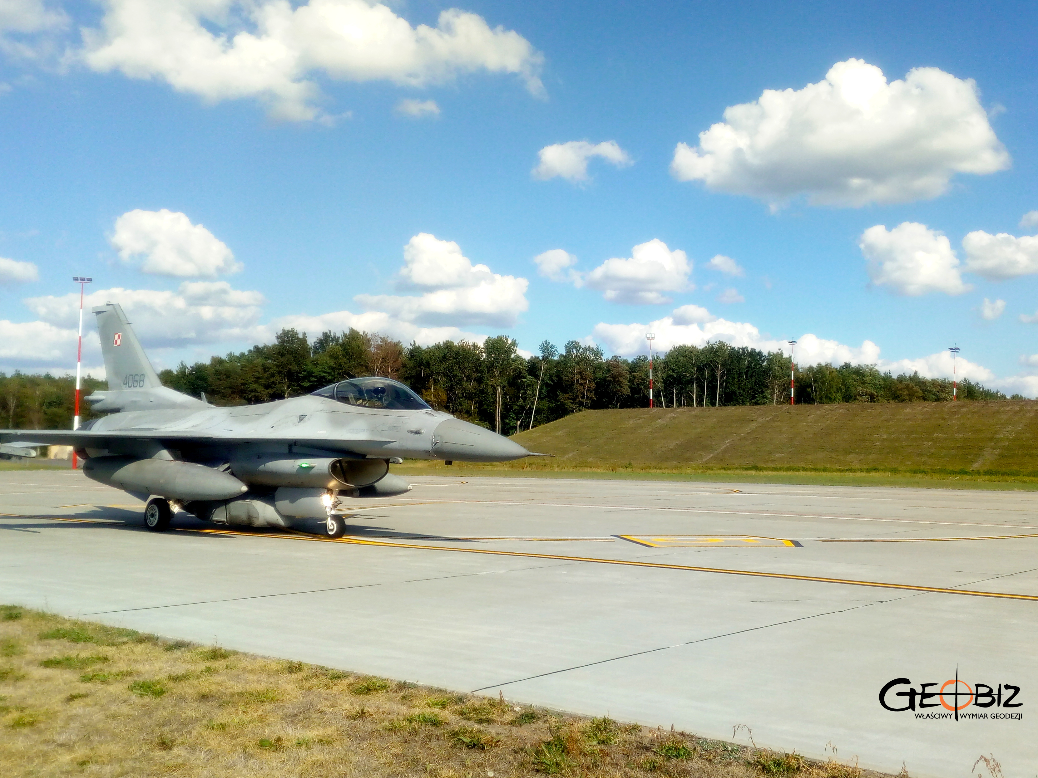
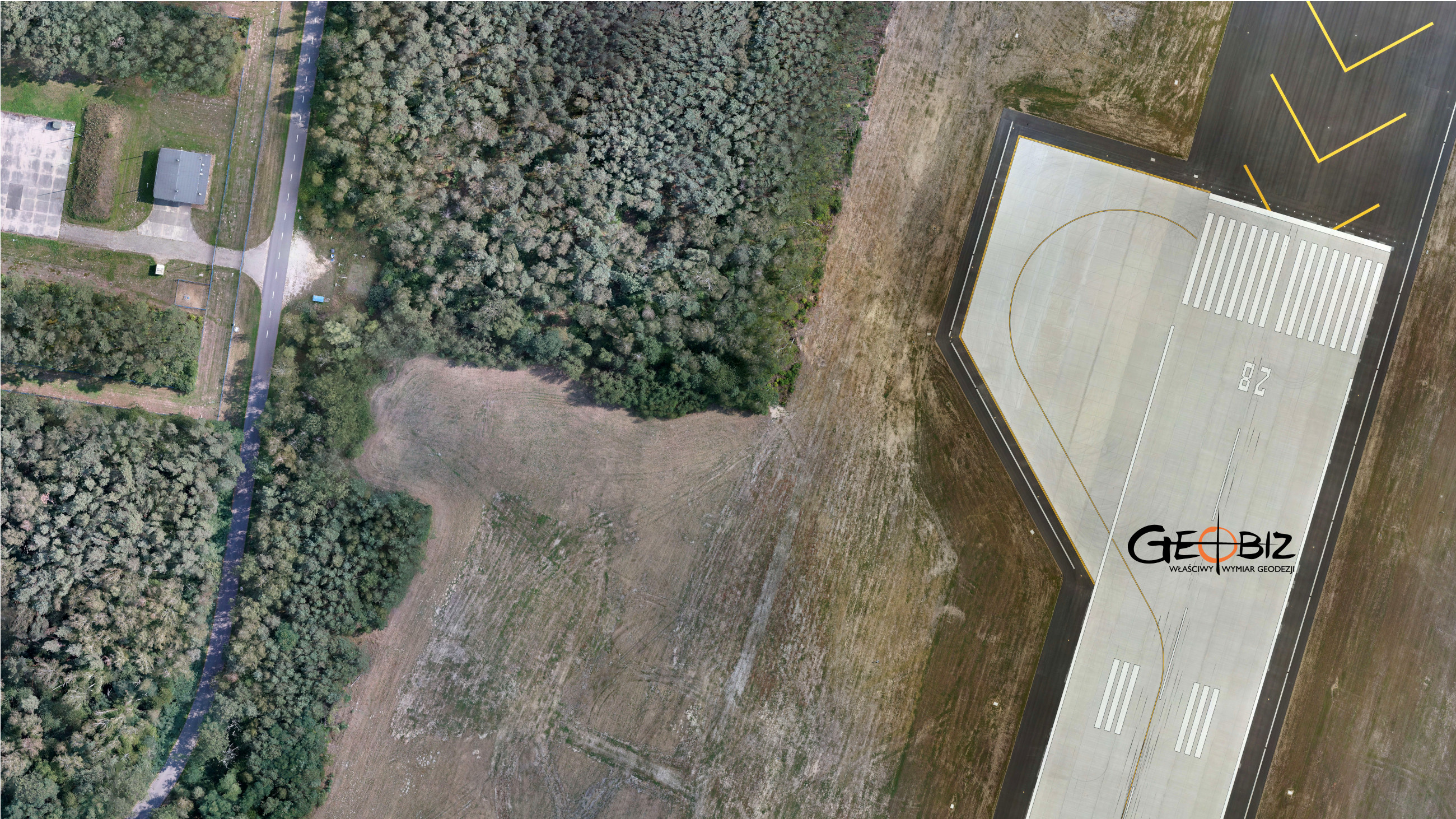
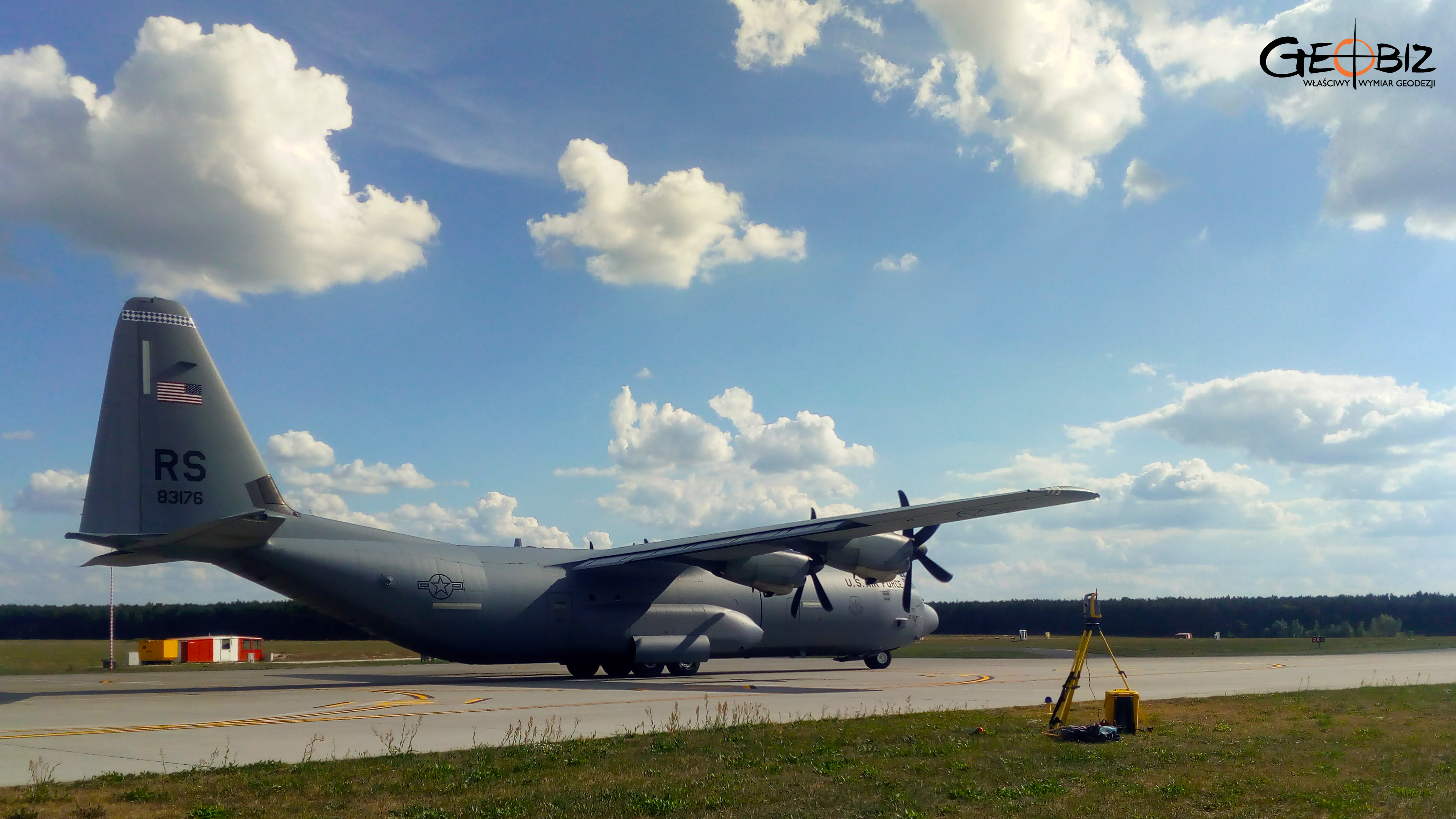
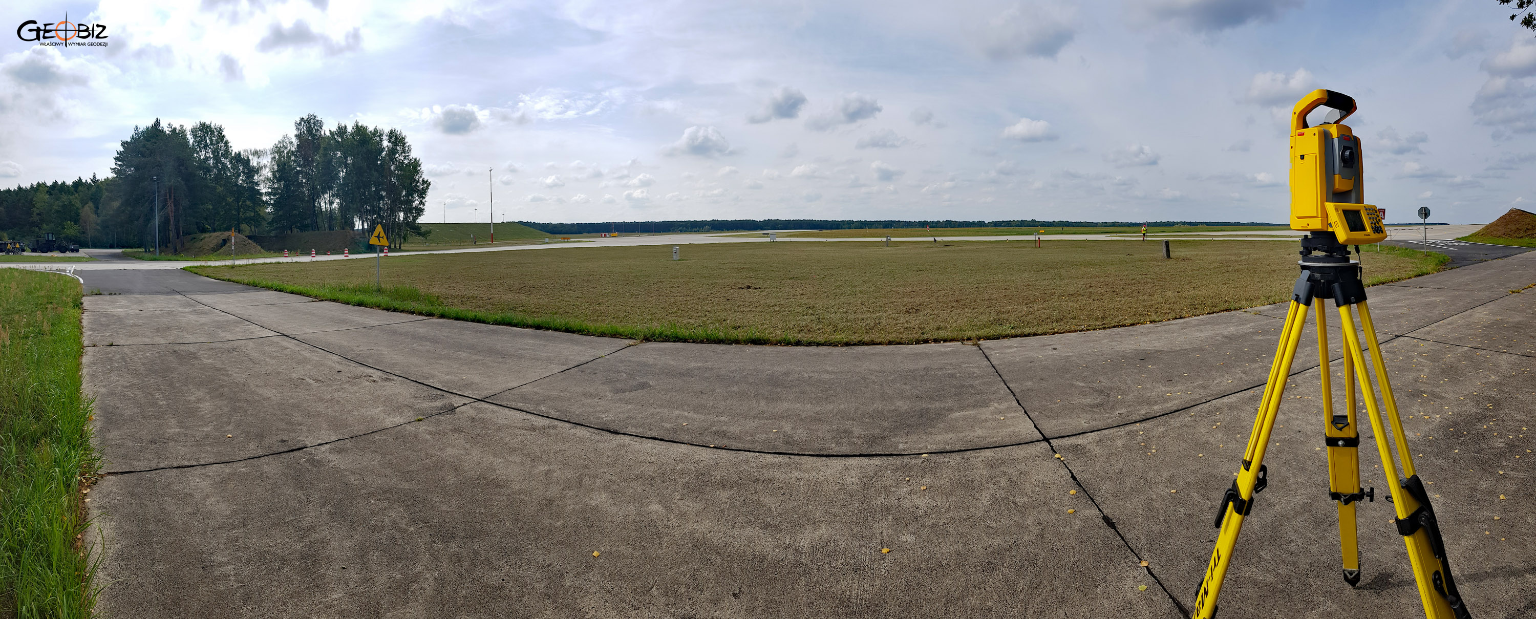
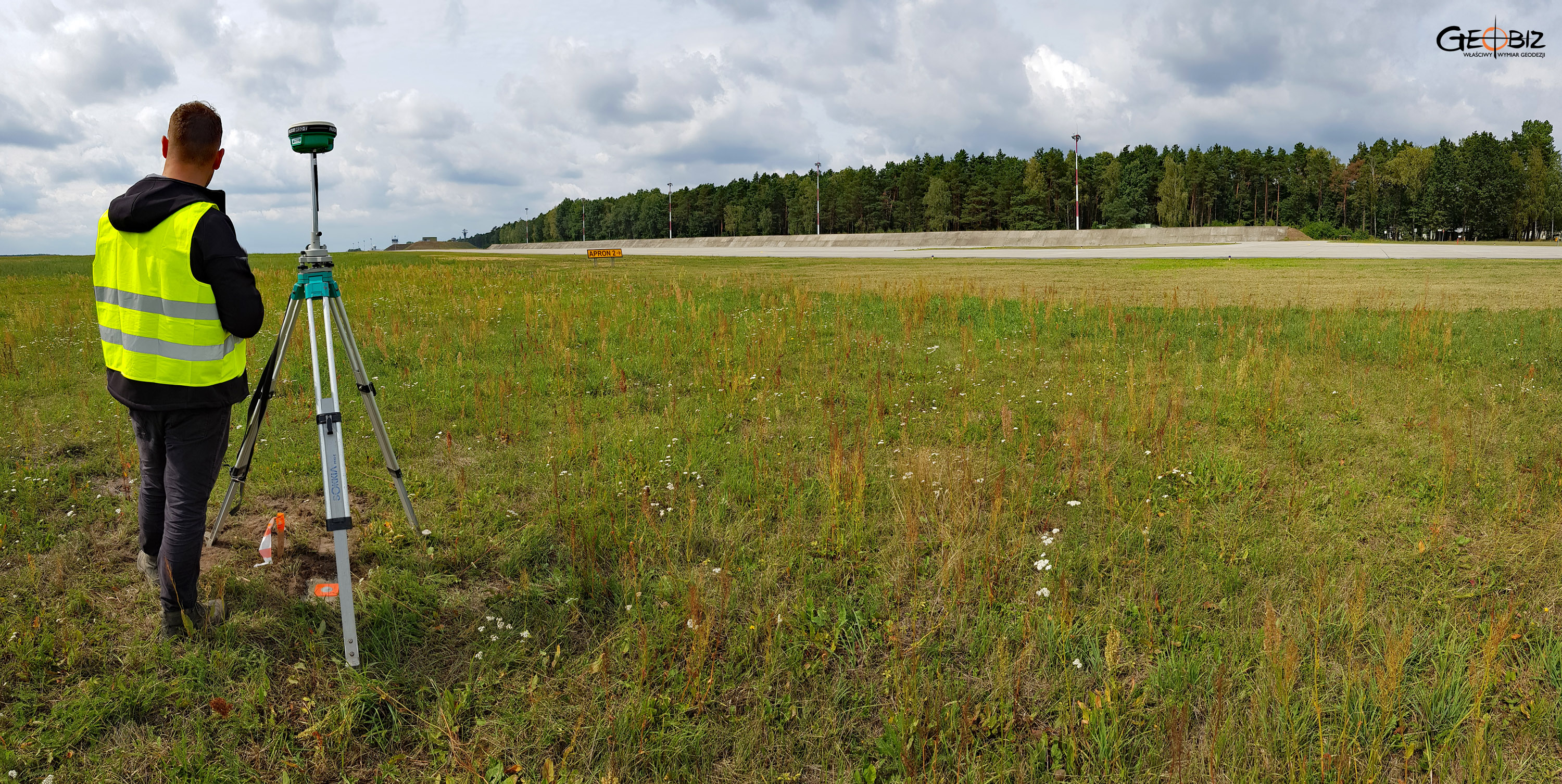
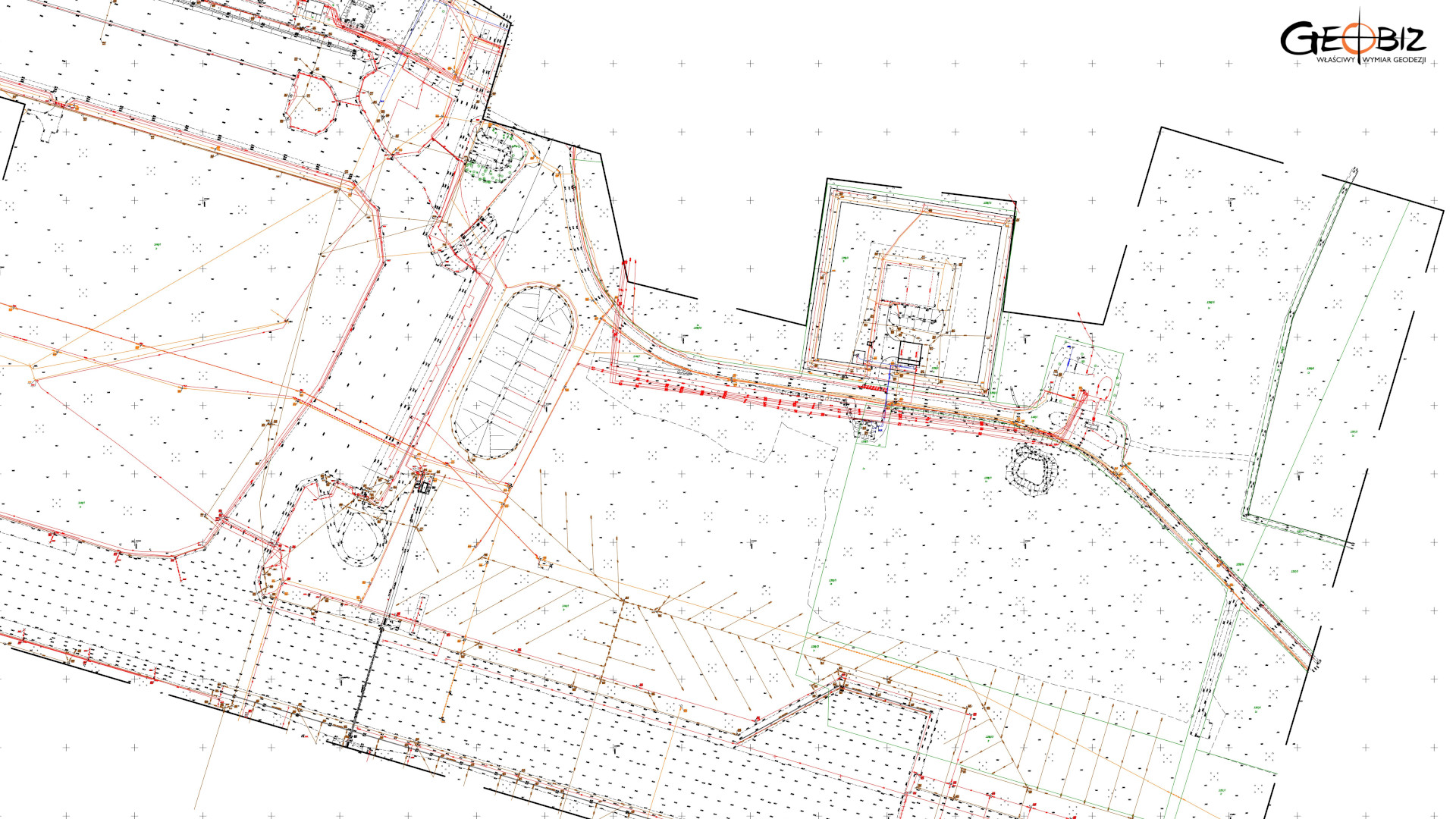
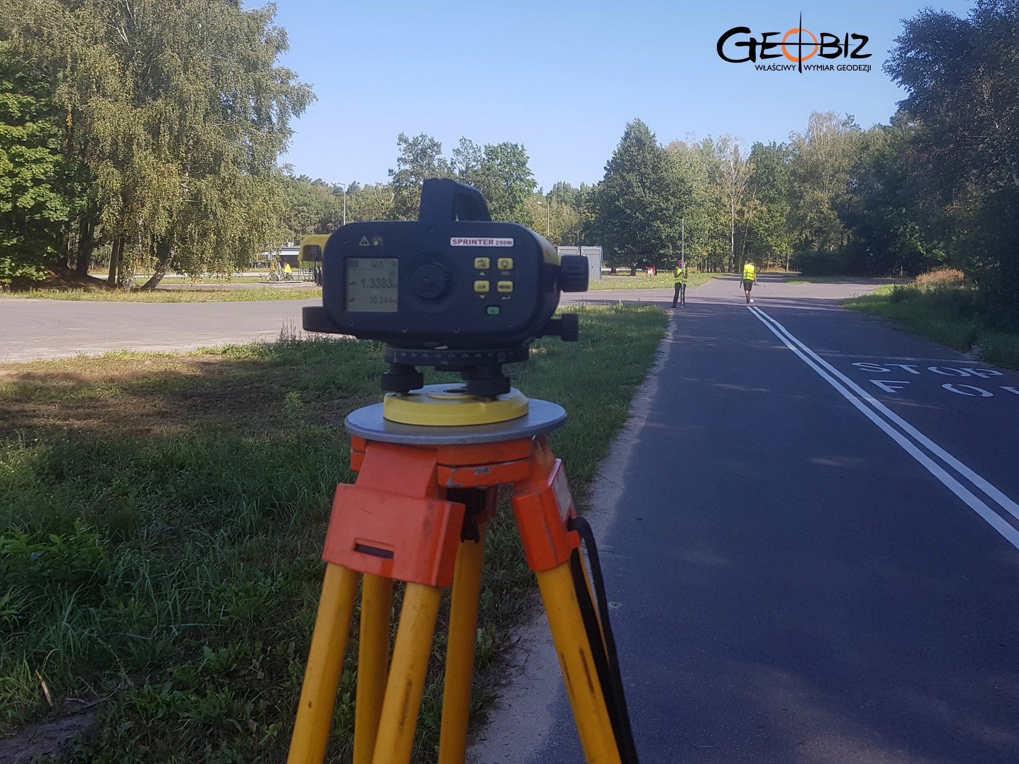
We completed an exceptionally detailed survey for design purposes. It’s rare to have a client with such precise and extensive requirements. The primary product was, of course, a digital geodetic map in DWG format. Supplementary elements included an orthophotomap created from UAV-captured images, a digital terrain model in a LandXML file, and photos of the technical infrastructure. We also scanned the area with underground utility detectors, uncovering numerous cables, which were measured and added to the design maps.
Services in the field Geodesy - offer
MAPS FOR DESIGN PURPOSES
GEODETIC CONSTRUCTION SERVICE
AS-BUILT INVENTORY
ESTABLISHMENT AND RESUMPTION OF PLOT BOUNDARIES
DIVISION OF PLOTS OF LAND
STAKE OF PROJECTED POINTS
CERTIFICATES OF INDEPENDENCE OF PREMISES
Certificates of Independence of Premises Poznań
Mapy geodezyjne do celów projektowych Wrocław
Realizujemy profesjonalne opracowania geodezyjne niezbędne w procesach inwestycyjnych, a w szczególności mapy do celów projektowych dla klientów firm budowlanych, projektantów oraz instytucji publicznych.
CONTACT
We encourage you to send an inquiry, and we will prepare a personalized offer for you.